


ドミニカ共和国の基本データ Key Data of Dominican Republic
A brief summary of Dominican Republic
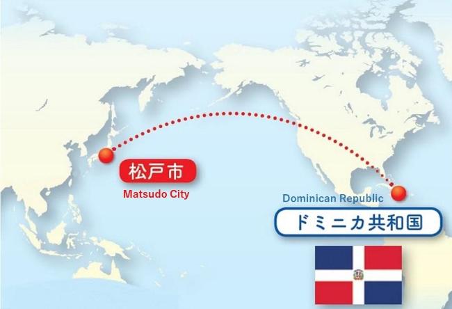
Location: Eastern region of the Hispaniola island (2nd largest island of the Great Antilles archipelago) in the Caribbean Sea; shares a border with Haiti to the west
Area: 48,442 square kilometers (about as big as Kyushu and Kochi Prefecture, combined)
Capital: Santo Domingo
Population: ~10,760,000 (2017, World Bank estimate)
Official language: Spanish
Time zone: Atlantic Standard Time (13 hours behind Japan)
Climate: Subtropical climate, year-round average temperature of ~25°C
ドミニカ共和国の豆知識
位置: カリブ海に位置するイスパニョーラ島東部。大アンティル諸島で2番目に大きな島であり、同島西部にあるハイチと国境を接する。
面積: 48,442平方キロメートル(九州に高知県を合わせた広さ)
首都: サントドミンゴ
人口: 約1,076万人(2017年:世界銀行)
標語: スペイン語
時間帯:日本とドミニカ共和国の時差は―13時間
気候: 亜熱帯性気候、年間平均気温は約25度
Return to Dominica Republic main page 「ドミニカ共和国」のページへ戻る